 vesseltracker.com
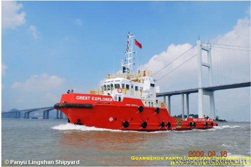
Lsm. Nusantara
Current StatusWhere is the vessel?
Lsm. Nusantara is currently in Near Handil, based on AIS data received about 2d ago.
Latest AIS update:
Current position: 0.82220° S, 117.25334° E (Near Handil)
Average speed (last 7 days): Loading…
Average speed (last 30 days): Loading…
Vessel profile: Lsm. Nusantara is a Offshore Tug Supply Ship with dimensions 9m x 36m.
This page combines live AIS, route history, probable destination signals, nearby traffic, and port activity for practical vessel monitoring.
The current position of vessel Lsm. Nusantara is -0.82220 lat / 117.25334 lng. Updated: 2026-04-10 00:29:40 UTCNearest reference points:
- Near Handil
- 11 nm NE of Senipah Oil Terminal
- Near SAMARINDA
Details:
Live Vessel Lsm. Nusantara Analytics (details, animations, etc.)
Recent AIS points (UTC):
2026-04-09 14:43:17 UTC · -0.90545, 117.30452 · SOG 4.5 kn · COG -1°2026-04-10 00:29:40 UTC · -0.82220, 117.25334 · SOG 4.4 kn · COG -1°
2026-04-10 00:29:40 UTC · -0.82220, 117.25334 · SOG 4.4 kn · COG -1°
2026-04-10 00:29:40 UTC · -0.82220, 117.25334 · SOG 4.4 kn · COG -1°