 vesseltracker.com
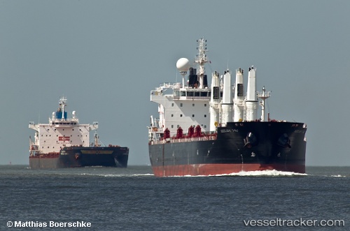
Vessel Mv Arrilah I IMO: 9522934, MMSI: 636014927 Bulk Carrier
UTC, 47.92732, -135.94388, course: 110, speed: 11.5
UTC, 47.79336, -135.44202, course: 100, speed: 11
2026-03-24 10:23:49 UTC, 47.77261, -134.75627, course: 89, speed: 11.3
Live Vessel Mv Arrilah I Analytics (details, animations, etc.)
Live AIS position: UTC. 150 nm N of Primorsky Krai), updated 2026-03-24 10:23:49 UTC.Find the position of the vessel Mv Arrilah I on the map. The latter are known coordinates and path.
marine traffic ship tracker show on live map
The current position of vessel Mv Arrilah I is 47.77261 lat / -134.75627 lng. Updated: 2026-03-24 10:23:49 UTCDetails:
Last coordinates of the vessel:
UTC, 48.11505, -136.55565, course: 110, speed: 11.7UTC, 47.92732, -135.94388, course: 110, speed: 11.5
UTC, 47.79336, -135.44202, course: 100, speed: 11
2026-03-24 10:23:49 UTC, 47.77261, -134.75627, course: 89, speed: 11.3