 vesseltracker.com
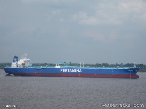
Gamalama
Current StatusWhere is the vessel?
Gamalama is currently in 35 nm NE of Rengasdengklok, based on AIS data received about 1h ago.
Latest AIS update:
Current position: 5.71500° S, 107.67667° E (35 nm NE of Rengasdengklok)
Average speed (last 7 days): Loading…
Average speed (last 30 days): Loading…
Vessel profile: Gamalama is a Crude Oil Tanker with dimensions 44m x 245m.
This page combines live AIS, route history, probable destination signals, nearby traffic, and port activity for practical vessel monitoring.
The current position of vessel Gamalama is -5.71500 lat / 107.67667 lng. Updated: 2026-04-21 13:55:45 UTCNearest reference points:
- 31 nm NE of Rengasdengklok
- 19 nm N of Cilincing
- Near New Priok Port
Details:
Live Vessel Gamalama Analytics (details, animations, etc.)
Recent AIS points (UTC):
2026-04-21 10:01:21 UTC · -5.72537, 106.98692 · SOG 10.6 kn · COG -1°2026-04-21 11:58:46 UTC · -5.71833, 107.32833 · SOG 10 kn · COG -1°
2026-04-21 13:11:40 UTC · -5.71967, 107.54412 · SOG 10.6 kn · COG -1°
2026-04-21 13:55:45 UTC · -5.71500, 107.67667 · SOG 10 kn · COG -1°