 vesseltracker.com
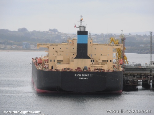
 BRIOLETTE
Current Status
Where is the vessel?
BRIOLETTE is currently in 11 nm W of Jeddah, based on AIS data received about 1h ago.
Latest AIS update:
Current position: 21.45545° N, 38.95500° E (11 nm W of Jeddah)
Average speed (last 7 days): Loading…
Average speed (last 30 days): Loading…
Vessel profile: BRIOLETTE is a Crude Oil Tanker with dimensions 228m x 42m.
This page combines live AIS, route history, probable destination signals, nearby traffic, and port activity for practical vessel monitoring.
The current position of vessel BRIOLETTE is 21.45545 lat / 38.95500 lng. Updated: 2026-04-09 06:08:32 UTCNearest reference points:
- Near Tusdeer Free Zone
- 10 nm SW of Jeddah
- Near Jeddah
Currently sailing under the flag of Marshall Islands ![]()
BRIOLETTE built in 2011 year
Deadweight:
104588 tDetails:
Live Vessel BRIOLETTE Analytics (details, animations, etc.)
Recent AIS points (UTC):
2026-04-08 23:23:42 UTC · 21.34219, 38.88933 · SOG 1 kn · COG 290°2026-04-09 01:59:52 UTC · 21.27576, 38.87196 · SOG 1.6 kn · COG 288°
2026-04-09 04:14:32 UTC · 21.27881, 38.91864 · SOG 7.9 kn · COG 50°
2026-04-09 06:08:32 UTC · 21.45545, 38.95500 · SOG 1.8 kn · COG 10°