 vesseltracker.com
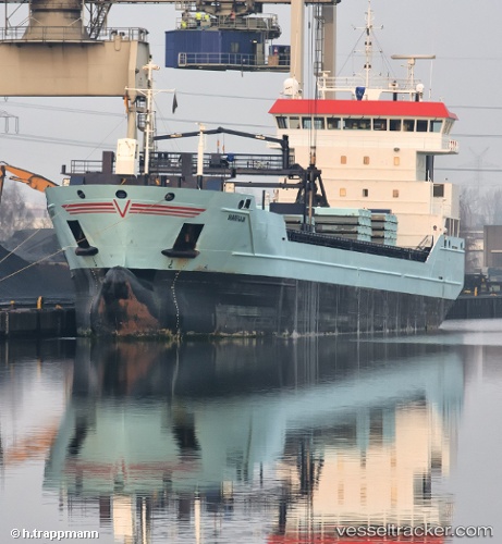
 Marfaam
Current Status
Where is the vessel?
Marfaam is currently in Near South Uist and Eriskay, based on AIS data received about 1h ago.
Latest AIS update:
Current position: 57.06457° N, 7.00912° W (Near South Uist and Eriskay)
Average speed (last 7 days): Loading…
Average speed (last 30 days): Loading…
Vessel profile: Marfaam is a Multi Purpose Carrier with dimensions 118m x 16m.
This page combines live AIS, route history, probable destination signals, nearby traffic, and port activity for practical vessel monitoring.
The current position of vessel Marfaam is 57.06457 lat / -7.00912 lng. Updated: 2026-04-05 14:41:27 UTCNearest reference points:
- Near North Harris
- Near Fishnish, Isle of Mull
- Near KYLE OF LOCHALSH
Currently sailing under the flag of Netherlands ![]()
Marfaam built in 2011 year
Deadweight:
8429 tDetails:
Live Vessel Marfaam Analytics (details, animations, etc.)
Recent AIS points (UTC):
2026-04-05 10:12:12 UTC · 56.36068, -7.29270 · SOG 8.9 kn · COG 354°2026-04-05 11:36:17 UTC · 56.57103, -7.21418 · SOG 9.8 kn · COG 12°
2026-04-05 13:22:18 UTC · 56.84970, -7.09870 · SOG 9.8 kn · COG 10°
2026-04-05 14:41:27 UTC · 57.06457, -7.00912 · SOG 10.2 kn · COG 12°