 vesseltracker.com
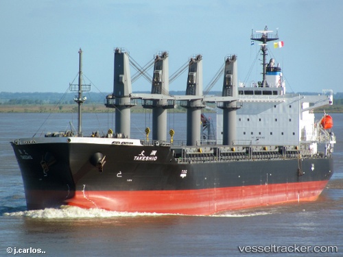
 ECO CATHAR
Current Status
Where is the vessel?
ECO CATHAR is currently in 69 nm N of South Riding Point, based on AIS data received about 1h ago.
Latest AIS update:
Current position: 27.75748° N, 78.31333° W (69 nm N of South Riding Point)
Average speed (last 7 days): Loading…
Average speed (last 30 days): Loading…
Vessel profile: ECO CATHAR is a General Cargo with dimensions m x m.
This page combines live AIS, route history, probable destination signals, nearby traffic, and port activity for practical vessel monitoring.
The current position of vessel ECO CATHAR is 27.75748 lat / -78.31333 lng. Updated: 2026-03-29 22:50:12 UTCNearest reference points:
- 75 nm N of Green Turtle Cay
- Near Green Turtle Cay
- Near Juno Beach
Currently sailing under the flag of Liberia ![]()
Details:
Live Vessel ECO CATHAR Analytics (details, animations, etc.)
Recent AIS points (UTC):
2026-03-29 16:47:21 UTC · 27.56876, -78.96731 · SOG 5.8 kn · COG 69°2026-03-29 18:57:59 UTC · 27.64192, -78.74345 · SOG 6.1 kn · COG 73°
2026-03-29 20:05:20 UTC · 27.68065, -78.61560 · SOG 5.9 kn · COG 77°
2026-03-29 22:50:12 UTC · 27.75748, -78.31333 · SOG 6.3 kn · COG 77°