 vesseltracker.com
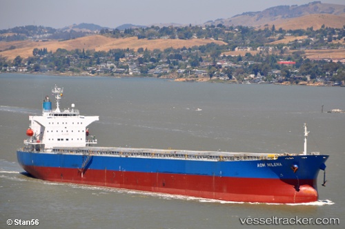
 ATMOSPHERE
Current Status
Where is the vessel?
ATMOSPHERE is currently in 24 nm S of Yesilovacik, based on AIS data received less than 1h ago.
Latest AIS update:
Current position: 35.80497° N, 33.69183° E (24 nm S of Yesilovacik)
Average speed (last 7 days): Loading…
Average speed (last 30 days): Loading…
Vessel profile: ATMOSPHERE is a Bulk Carrier with dimensions 32m x 218m.
This page combines live AIS, route history, probable destination signals, nearby traffic, and port activity for practical vessel monitoring.
The current position of vessel ATMOSPHERE is 35.80497 lat / 33.69183 lng. Updated: 2026-04-06 08:19:10 UTCNearest reference points:
- 15 nm SW of Yesilovacik
- 20 nm SW of Yesilovacik
- Near Larnaca
Currently sailing under the flag of Marshall Islands ![]()
ATMOSPHERE built in 2009 year
Deadweight:
76606 tDetails:
Live Vessel ATMOSPHERE Analytics (details, animations, etc.)
Recent AIS points (UTC):
2026-04-06 02:26:40 UTC · 35.78762, 32.30910 · SOG 11.8 kn · COG 90°2026-04-06 03:47:21 UTC · 35.79873, 32.63187 · SOG 11.9 kn · COG 90°
2026-04-06 06:00:20 UTC · 35.80083, 33.15495 · SOG 11 kn · COG 87°
2026-04-06 08:19:10 UTC · 35.80497, 33.69183 · SOG 11.7 kn · COG 90°