 vesseltracker.com
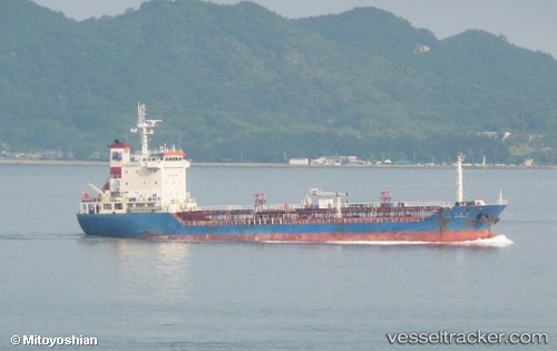
 NEW STELLA
Current Status
Where is the vessel?
NEW STELLA is currently in 47 nm NW of Biringkassi, based on AIS data received about 15h ago.
Latest AIS update:
Current position: 4.40492° S, 118.80670° E (47 nm NW of Biringkassi)
Average speed (last 7 days): Loading…
Average speed (last 30 days): Loading…
Vessel profile: NEW STELLA is a Tanker with dimensions m x m.
This page combines live AIS, route history, probable destination signals, nearby traffic, and port activity for practical vessel monitoring.
The current position of vessel NEW STELLA is -4.40492 lat / 118.80670 lng. Updated: 2026-04-18 06:24:31 UTCNearest reference points:
- 12 nm W of Panakukang
- Near Makassar
- Near Panakukang
Currently sailing under the flag of Indonesia ![]()
Details:
Live Vessel NEW STELLA Analytics (details, animations, etc.)
Recent AIS points (UTC):
2026-04-18 02:50:39 UTC · -5.02172, 118.97619 · SOG 11.4 kn · COG 345°2026-04-18 06:24:31 UTC · -4.40492, 118.80670 · SOG 10.7 kn · COG 356°
2026-04-18 06:24:31 UTC · -4.40492, 118.80670 · SOG 10.7 kn · COG 356°
2026-04-18 06:24:31 UTC · -4.40492, 118.80670 · SOG 10.7 kn · COG 356°