 vesseltracker.com
 MARAN LYNX
Current Status
Where is the vessel?
MARAN LYNX is currently in Open sea (no nearby ports in database), based on AIS data received about 1h ago.
Latest AIS update:
Current position: 38.40419° S, 46.07572° E (Open sea (no nearby ports in database))
Average speed (last 7 days): Loading…
Average speed (last 30 days): Loading…
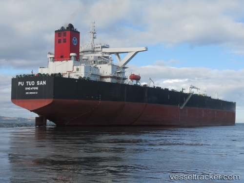
Vessel profile: MARAN LYNX is a Crude Oil Tanker with dimensions 60m x 333m.
This page combines live AIS, route history, probable destination signals, nearby traffic, and port activity for practical vessel monitoring.
The current position of vessel MARAN LYNX is -38.40419 lat / 46.07572 lng. Updated: 2026-03-29 19:21:49 UTCNearest reference points:
- Open sea (no nearby ports in database)
Currently sailing under the flag of Greece ![]()
MARAN LYNX built in 2011 year
Deadweight:
318833 tDetails:
Live Vessel MARAN LYNX Analytics (details, animations, etc.)
Recent AIS points (UTC):
2026-03-29 14:02:53 UTC · -38.35898, 44.39424 · SOG 14 kn · COG 95°2026-03-29 15:53:58 UTC · -38.37507, 44.95455 · SOG 14.7 kn · COG 95°
2026-03-29 18:14:50 UTC · -38.39985, 45.71311 · SOG 15.4 kn · COG 88°
2026-03-29 19:21:49 UTC · -38.40419, 46.07572 · SOG 15.3 kn · COG 87°