 vesseltracker.com
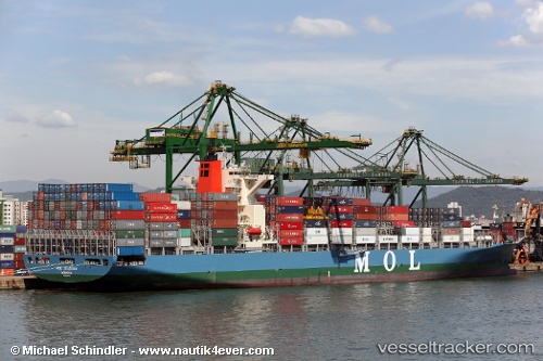
 ESL KABIR
Current Status
Where is the vessel?
ESL KABIR is currently in 40 nm N of Dai Hung (Tandem Load), based on AIS data received about 1d ago.
Latest AIS update:
Current position: 9.10667° N, 108.89167° E (40 nm N of Dai Hung (Tandem Load))
Average speed (last 7 days): Loading…
Average speed (last 30 days): Loading…
Vessel profile: ESL KABIR is a Container Ship with dimensions m x m.
This page combines live AIS, route history, probable destination signals, nearby traffic, and port activity for practical vessel monitoring.
The current position of vessel ESL KABIR is 9.10667 lat / 108.89167 lng. Updated: 2026-04-10 07:33:55 UTCNearest reference points:
- Near Rang Dong
- 30 nm SW of Dai Hung (Tandem Load)
- 59 nm SW of Bach Ho
Currently sailing under the flag of Portugal ![]()
Details:
Live Vessel ESL KABIR Analytics (details, animations, etc.)
Recent AIS points (UTC):
2026-04-10 01:33:53 UTC · 7.86167, 107.80167 · SOG 15 kn · COG -1°2026-04-10 04:12:53 UTC · 8.34833, 108.28333 · SOG 15 kn · COG -1°
2026-04-10 05:48:52 UTC · 8.72166, 108.59500 · SOG 21 kn · COG -1°
2026-04-10 07:33:55 UTC · 9.10667, 108.89167 · SOG 15 kn · COG -1°