 vesseltracker.com
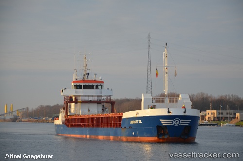
 Birgit G.
Current Status
Where is the vessel?
Birgit G. is currently in Near KRIMPEN, based on AIS data received about 156d ago.
Latest AIS update:
Current position: 51.90147° N, 4.57225° E (Near KRIMPEN)
Average speed (last 7 days): Loading…
Average speed (last 30 days): Loading…
Vessel profile: Birgit G. is a Multi Purpose Carrier with dimensions 88m x 13m.
This page combines live AIS, route history, probable destination signals, nearby traffic, and port activity for practical vessel monitoring.
The current position of vessel Birgit G. is 51.90147 lat / 4.57225 lng. Updated: 2025-10-21 06:01:15 UTCNearest reference points:
- Near KRIMPEN
- Near ROTTERDAM CENTRUM
- Near Puttershoek
Currently sailing under the flag of Antigua Barbuda ![]()
Birgit G. built in 2010 year
Deadweight:
3850 tDetails:
Live Vessel Birgit G. Analytics (details, animations, etc.)
Recent AIS points (UTC):
2025-10-21 06:01:15 UTC · 51.90147, 4.57225 · SOG 0 kn · COG 264°