 vesseltracker.com
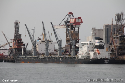
 PARLA
PARLA
Current Status
Where is the vessel?
PARLA is currently in Near Jorf Lasfar, based on AIS data received less than 1h ago.
Latest AIS update:
Current position: 33.19197° N, 8.71797° W (Near Jorf Lasfar)
Average speed (last 7 days): Loading…
Average speed (last 30 days): Loading…
Vessel profile: PARLA is a Bulk Carrier with dimensions m x m.
This page combines live AIS, route history, probable destination signals, nearby traffic, and port activity for practical vessel monitoring.
The current position of vessel PARLA is 33.19197 lat / -8.71797 lng. Updated: 2026-04-21 01:22:00 UTCNearest reference points:
- Near Jorf Lasfar
- 21 nm NW of El Jadida
- 44 nm NW of El Jadida
Currently sailing under the flag of Marshall Islands ![]()
Details:
Live Vessel PARLA Analytics (details, animations, etc.)
Recent AIS points (UTC):
2026-04-20 21:49:51 UTC · 33.04993, -8.88002 · SOG 10.5 kn · COG -1°2026-04-20 22:17:19 UTC · 33.09167, -8.82500 · SOG 6 kn · COG -1°
2026-04-20 23:49:03 UTC · 33.19346, -8.71642 · SOG 0.3 kn · COG -1°
2026-04-21 01:22:00 UTC · 33.19197, -8.71797 · SOG 0.5 kn · COG -1°