 vesseltracker.com
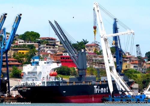
 TOYO SHINE
Current Status
Where is the vessel?
TOYO SHINE is currently in 15 nm N of Su Tu Den, based on AIS data received about 5h ago.
Latest AIS update:
Current position: 10.66845° N, 108.43068° E (15 nm N of Su Tu Den)
Average speed (last 7 days): Loading…
Average speed (last 30 days): Loading…
Vessel profile: TOYO SHINE is a General Cargo Ship with dimensions 120m x 120m.
This page combines live AIS, route history, probable destination signals, nearby traffic, and port activity for practical vessel monitoring.
The current position of vessel TOYO SHINE is 10.66845 lat / 108.43068 lng. Updated: 2026-04-01 09:43:53 UTCNearest reference points:
- Near Rang Dong
- 30 nm NW of Bach Ho
- 15 nm SE of Bà Ria
Currently sailing under the flag of Panama ![]()
TOYO SHINE built in 2012 year
Deadweight:
12185 tDetails:
Live Vessel TOYO SHINE Analytics (details, animations, etc.)
Recent AIS points (UTC):
2026-04-01 08:09:53 UTC · 10.85923, 108.65827 · SOG 11.4 kn · COG 236°2026-04-01 08:09:53 UTC · 10.85923, 108.65827 · SOG 11.4 kn · COG 236°
2026-04-01 09:43:53 UTC · 10.66845, 108.43068 · SOG 11.6 kn · COG 245°
2026-04-01 09:43:53 UTC · 10.66845, 108.43068 · SOG 11.6 kn · COG 245°