 vesseltracker.com
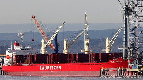
 AGIA IOANNA
Current Status
Where is the vessel?
AGIA IOANNA is currently in 387 nm E of Suqutrá, based on AIS data received less than 1h ago.
Latest AIS update:
Current position: 11.31255° N, 60.46760° E (387 nm E of Suqutrá)
Average speed (last 7 days): Loading…
Average speed (last 30 days): Loading…
Vessel profile: AGIA IOANNA is a Cargo with dimensions m x m.
This page combines live AIS, route history, probable destination signals, nearby traffic, and port activity for practical vessel monitoring.
The current position of vessel AGIA IOANNA is 11.31255 lat / 60.46760 lng. Updated: 2026-04-06 05:28:14 UTCNearest reference points:
- Open sea, approx. 400 nm off the nearest listed port
- Open sea, approx. 402 nm off the nearest listed port
- Open sea, approx. 522 nm off the nearest listed port
Currently sailing under the flag of Marshall Islands ![]()
Details:
Live Vessel AGIA IOANNA Analytics (details, animations, etc.)
Recent AIS points (UTC):
2026-04-05 23:22:50 UTC · 10.98667, 61.64833 · SOG 11 kn · COG -1°2026-04-06 01:54:12 UTC · 11.13959, 61.16622 · SOG 11.8 kn · COG 276°
2026-04-06 04:13:51 UTC · 11.24500, 60.70833 · SOG 11 kn · COG -1°
2026-04-06 05:28:14 UTC · 11.31255, 60.46760 · SOG 12 kn · COG 282°