 vesseltracker.com
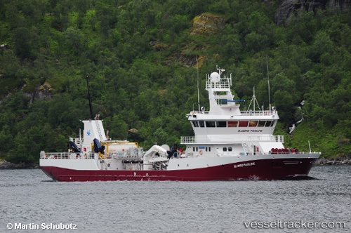
 GRIP NORD
Current Status
Where is the vessel?
GRIP NORD is currently in 10 nm S of Melinka, based on AIS data received less than 1h ago.
Latest AIS update:
Current position: 44.03667° S, 73.74833° W (10 nm S of Melinka)
Average speed (last 7 days): Loading…
Average speed (last 30 days): Loading…
Vessel profile: GRIP NORD is a Cargo with dimensions m x m.
This page combines live AIS, route history, probable destination signals, nearby traffic, and port activity for practical vessel monitoring.
The current position of vessel GRIP NORD is -44.03667 lat / -73.74833 lng. Updated: 2026-04-15 08:22:00 UTCNearest reference points:
- Near Melinka
- Near Quellón (Puerto Quellón)
- Near Chonchi
Details:
Live Vessel GRIP NORD Analytics (details, animations, etc.)
Recent AIS points (UTC):
2026-04-15 00:27:58 UTC · -44.34450, -73.50150 · SOG 9.7 kn · COG 353°2026-04-15 03:42:36 UTC · -44.03717, -73.74849 · SOG 0.2 kn · COG 201°
2026-04-15 05:47:50 UTC · -44.03713, -73.74845 · SOG 0 kn · COG 201°
2026-04-15 08:22:00 UTC · -44.03667, -73.74833 · SOG 0 kn · COG -1°