 vesseltracker.com
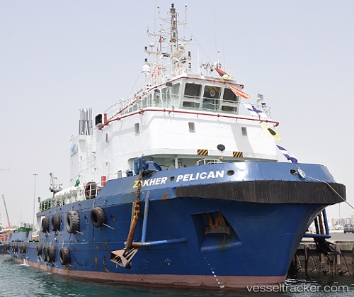
 Zakher Pelican
Current Status
Where is the vessel?
Zakher Pelican is currently in 34 nm S of Soroosh (Cyrus) Terminal, based on AIS data received about 1h ago.
Latest AIS update:
Current position: 28.46833° N, 49.52500° E (34 nm S of Soroosh (Cyrus) Terminal)
Average speed (last 7 days): Loading…
Average speed (last 30 days): Loading…
Vessel profile: Zakher Pelican is a Utility Vessel with dimensions 55m x 55m.
This page combines live AIS, route history, probable destination signals, nearby traffic, and port activity for practical vessel monitoring.
The current position of vessel Zakher Pelican is 28.46833 lat / 49.52500 lng. Updated: 2026-03-26 19:54:28 UTCNearest reference points:
- 38 nm S of Soroosh (Cyrus) Terminal
- 31 nm S of Soroosh (Cyrus) Terminal
- 41 nm S of Soroosh (Cyrus) Terminal
Currently sailing under the flag of St Vincent Grenadines ![]()
Details:
Live Vessel Zakher Pelican Analytics (details, animations, etc.)
Recent AIS points (UTC):
2026-03-26 13:16:40 UTC · 28.45663, 49.51807 · SOG 0.9 kn · COG -1°2026-03-26 15:21:55 UTC · 28.46849, 49.52563 · SOG 0.3 kn · COG -1°
2026-03-26 18:17:21 UTC · 28.46881, 49.52575 · SOG 0.1 kn · COG -1°
2026-03-26 19:54:28 UTC · 28.46833, 49.52500 · SOG 0 kn · COG -1°