 vesseltracker.com
 HOPE
HOPE
Current Status
Where is the vessel?
HOPE is currently in 162 nm NE of Campohermoso, based on AIS data received less than 1h ago.
Latest AIS update:
Current position: 38.93333° N, 20.49591° W (162 nm NE of Campohermoso)
Average speed (last 7 days): Loading…
Average speed (last 30 days): Loading…
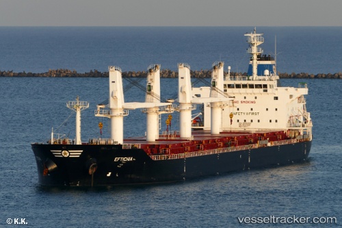
Vessel profile: HOPE is a Bulk Carrier with dimensions 38m x 8m.
This page combines live AIS, route history, probable destination signals, nearby traffic, and port activity for practical vessel monitoring.
The current position of vessel HOPE is 38.93333 lat / -20.49591 lng. Updated: 2026-04-17 07:22:23 UTCNearest reference points:
- 68 nm NE of Campohermoso
Currently sailing under the flag of Liberia ![]()
HOPE built in 2011 year
Deadweight:
34146 tDetails:
Live Vessel HOPE Analytics (details, animations, etc.)
Recent AIS points (UTC):
2026-04-17 02:01:34 UTC · 39.34457, -19.38594 · SOG 10.9 kn · COG 235°2026-04-17 03:57:13 UTC · 39.14236, -19.74832 · SOG 11.3 kn · COG 235°
2026-04-17 05:17:10 UTC · 38.99971, -20.01412 · SOG 10.7 kn · COG 259°
2026-04-17 07:22:23 UTC · 38.93333, -20.49591 · SOG 10.9 kn · COG 264°