 vesseltracker.com
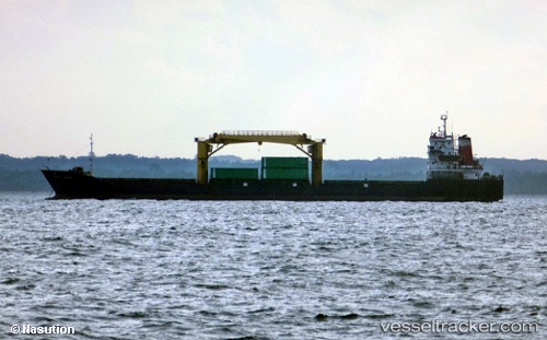
Pulau Layang
Current StatusWhere is the vessel?
Pulau Layang is currently in Near SAMARINDA, based on AIS data received about 2h ago.
Latest AIS update:
Current position: 0.57106° S, 117.20850° E (Near SAMARINDA)
Average speed (last 7 days): Loading…
Average speed (last 30 days): Loading…
Vessel profile: Pulau Layang is a General Cargo Ship with dimensions 22m x 120m.
This page combines live AIS, route history, probable destination signals, nearby traffic, and port activity for practical vessel monitoring.
The current position of vessel Pulau Layang is -0.57106 lat / 117.20850 lng. Updated: 2026-04-05 11:22:23 UTCNearest reference points:
- Near SAMARINDA
- 11 nm E of SAMARINDA
- Near Handil
Details:
Live Vessel Pulau Layang Analytics (details, animations, etc.)
Recent AIS points (UTC):
2026-04-05 05:55:33 UTC · -0.57104, 117.20850 · SOG 0 kn · COG -1°2026-04-05 07:55:04 UTC · -0.57104, 117.20851 · SOG 0 kn · COG -1°
2026-04-05 09:51:23 UTC · -0.57103, 117.20848 · SOG 0 kn · COG -1°
2026-04-05 11:22:23 UTC · -0.57106, 117.20850 · SOG 0 kn · COG -1°