 vesseltracker.com
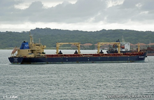
Watford
Current StatusWhere is the vessel?
Watford is currently in Near KO SICHANG, based on AIS data received less than 1h ago.
Latest AIS update:
Current position: 13.17948° N, 100.84031° E (Near KO SICHANG)
Average speed (last 7 days): Loading…
Average speed (last 30 days): Loading…
Vessel profile: Watford is a Bulk Carrier with dimensions 32m x 190m.
This page combines live AIS, route history, probable destination signals, nearby traffic, and port activity for practical vessel monitoring.
The current position of vessel Watford is 13.17948 lat / 100.84031 lng. Updated: 2026-04-20 06:08:56 UTCNearest reference points:
- Near Sriracha
- Near KO SICHANG
- Near SIRACHA
Details:
Live Vessel Watford Analytics (details, animations, etc.)
Recent AIS points (UTC):
2026-04-20 01:59:22 UTC · 13.17879, 100.84139 · SOG 0 kn · COG -1°2026-04-20 03:49:33 UTC · 13.17904, 100.84131 · SOG 0 kn · COG -1°
2026-04-20 04:37:20 UTC · 13.17930, 100.84102 · SOG 0.1 kn · COG -1°
2026-04-20 06:08:56 UTC · 13.17948, 100.84031 · SOG 0 kn · COG -1°