 vesseltracker.com
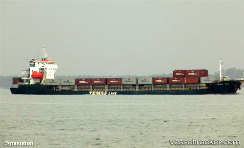
Guhi Mas
Current StatusWhere is the vessel?
Guhi Mas is currently in 90 nm W of Tarahan, based on AIS data received less than 1h ago.
Latest AIS update:
Current position: 5.29998° S, 103.88925° E (90 nm W of Tarahan)
Average speed (last 7 days): Loading…
Average speed (last 30 days): Loading…
Vessel profile: Guhi Mas is a Multi Purpose Carrier with dimensions 15m x 97m.
This page combines live AIS, route history, probable destination signals, nearby traffic, and port activity for practical vessel monitoring.
The current position of vessel Guhi Mas is -5.29998 lat / 103.88925 lng. Updated: 2026-04-18 17:44:46 UTCNearest reference points:
- 67 nm S of Lahat
- 28 nm SW of Tarahan
- 29 nm SW of Tarahan
Details:
Live Vessel Guhi Mas Analytics (details, animations, etc.)
Recent AIS points (UTC):
2026-04-18 11:25:19 UTC · -4.85332, 103.31747 · SOG 7.5 kn · COG -1°2026-04-18 13:28:37 UTC · -5.00043, 103.51511 · SOG 7.7 kn · COG -1°
2026-04-18 15:32:47 UTC · -5.14568, 103.70878 · SOG 6.7 kn · COG -1°
2026-04-18 17:44:46 UTC · -5.29998, 103.88925 · SOG 6.9 kn · COG -1°