 vesseltracker.com
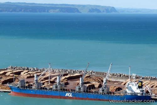
 BLUE CAT III
Current Status
Where is the vessel?
BLUE CAT III is currently in Near Fuikbaai, based on AIS data received about 17d ago.
Latest AIS update:
Current position: 11.99761° N, 68.69856° W (Near Fuikbaai)
Average speed (last 7 days): Loading…
Average speed (last 30 days): Loading…
Vessel profile: BLUE CAT III is a Bulk Carrier with dimensions m x m.
This page combines live AIS, route history, probable destination signals, nearby traffic, and port activity for practical vessel monitoring.
The current position of vessel BLUE CAT III is 11.99761 lat / -68.69856 lng. Updated: 2026-03-21 18:21:26 UTCNearest reference points:
- Near Bullenbaai
- Near Las Piedras
- 24 nm NW of Palm Beach
Currently sailing under the flag of Panama ![]()
Details:
Live Vessel BLUE CAT III Analytics (details, animations, etc.)
Recent AIS points (UTC):
2026-03-21 18:21:26 UTC · 11.99761, -68.69856 · SOG 9.7 kn · COG -1°