 vesseltracker.com
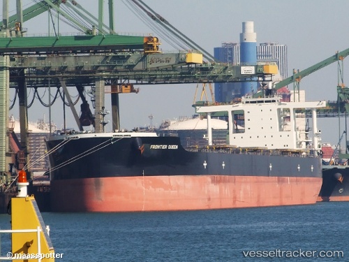
 CAPE SWAN
Current Status
Where is the vessel?
CAPE SWAN is currently in 82 nm SE of Taytay Sandoval, based on AIS data received less than 1h ago.
Latest AIS update:
Current position: 9.85833° N, 120.50167° E (82 nm SE of Taytay Sandoval)
Average speed (last 7 days): Loading…
Average speed (last 30 days): Loading…
Vessel profile: CAPE SWAN is a Bulk Carrier with dimensions 45m x 292m.
This page combines live AIS, route history, probable destination signals, nearby traffic, and port activity for practical vessel monitoring.
The current position of vessel CAPE SWAN is 9.85833 lat / 120.50167 lng. Updated: 2026-04-15 03:36:46 UTCNearest reference points:
- Near Iloilo
- 19 nm NE of CORON
- Near BACOLOD
Currently sailing under the flag of Liberia ![]()
CAPE SWAN built in 2012 year
Deadweight:
182663 tDetails:
Live Vessel CAPE SWAN Analytics (details, animations, etc.)
Recent AIS points (UTC):
2026-04-14 19:51:42 UTC · 11.52667, 120.52667 · SOG 12 kn · COG -1°2026-04-14 22:03:45 UTC · 11.05166, 120.55500 · SOG 12 kn · COG -1°
2026-04-14 23:39:44 UTC · 10.70667, 120.54833 · SOG 12 kn · COG -1°
2026-04-15 03:36:46 UTC · 9.85833, 120.50167 · SOG 12 kn · COG -1°