 vesseltracker.com
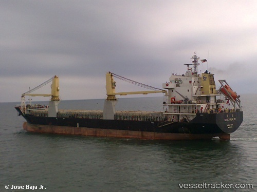
Chang Xiong
Current StatusWhere is the vessel?
Chang Xiong is currently in 33 nm E of Xiangyu Terminal/ Xiamen, based on AIS data received less than 1h ago.
Latest AIS update:
Current position: 27.00013° N, 120.91487° E (33 nm E of Xiangyu Terminal/ Xiamen)
Average speed (last 7 days): Loading…
Average speed (last 30 days): Loading…
Vessel profile: Chang Xiong is a General Cargo Ship with dimensions 18m x 117m.
This page combines live AIS, route history, probable destination signals, nearby traffic, and port activity for practical vessel monitoring.
The current position of vessel Chang Xiong is 27.00013 lat / 120.91487 lng. Updated: 2026-04-18 16:10:20 UTCNearest reference points:
- 41 nm E of Xiangyu Terminal/ Xiamen
- 43 nm E of Sansha
- 33 nm S of Zhuangyuanao
Details:
Live Vessel Chang Xiong Analytics (details, animations, etc.)
Recent AIS points (UTC):
2026-04-18 10:23:20 UTC · 26.29662, 120.35093 · SOG 9 kn · COG 40°2026-04-18 11:47:19 UTC · 26.47097, 120.47336 · SOG 8.8 kn · COG 39°
2026-04-18 13:51:40 UTC · 26.71043, 120.68382 · SOG 8.6 kn · COG 50°
2026-04-18 16:10:20 UTC · 27.00013, 120.91487 · SOG 9.5 kn · COG 28°