 vesseltracker.com
 ETAGAS
Current Status
Where is the vessel?
ETAGAS is currently in 54 nm S of Yucatan Channel, based on AIS data received less than 1h ago.
Latest AIS update:
Current position: 21.00047° N, 84.68559° W (54 nm S of Yucatan Channel)
Average speed (last 7 days): Loading…
Average speed (last 30 days): Loading…
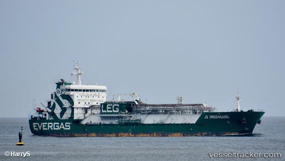
Vessel profile: ETAGAS is a LPG Tanker with dimensions 143m x 22m.
This page combines live AIS, route history, probable destination signals, nearby traffic, and port activity for practical vessel monitoring.
The current position of vessel ETAGAS is 21.00047 lat / -84.68559 lng. Updated: 2026-04-02 01:24:51 UTCNearest reference points:
- 58 nm S of San Julian
- Near Puerto Juárez
- Near Mariel
Currently sailing under the flag of Antigua and Barbuda ![]()
ETAGAS built in 2014 year
Deadweight:
14999 tDetails:
Live Vessel ETAGAS Analytics (details, animations, etc.)
Recent AIS points (UTC):
2026-04-01 19:54:56 UTC · 20.35832, -83.61491 · SOG 13.8 kn · COG 300°2026-04-01 21:37:20 UTC · 20.55821, -83.97562 · SOG 13.6 kn · COG 309°
2026-04-01 23:49:42 UTC · 20.81846, -84.40127 · SOG 12.1 kn · COG -1°
2026-04-02 01:24:51 UTC · 21.00047, -84.68559 · SOG 12.3 kn · COG -1°