 vesseltracker.com
 Longrun
Current Status
Where is the vessel?
Longrun is currently in 101 nm NE of Marsh Harbour, based on AIS data received about 1d ago.
Latest AIS update:
Current position: 27.75333° N, 75.67833° W (101 nm NE of Marsh Harbour)
Average speed (last 7 days): Loading…
Average speed (last 30 days): Loading…
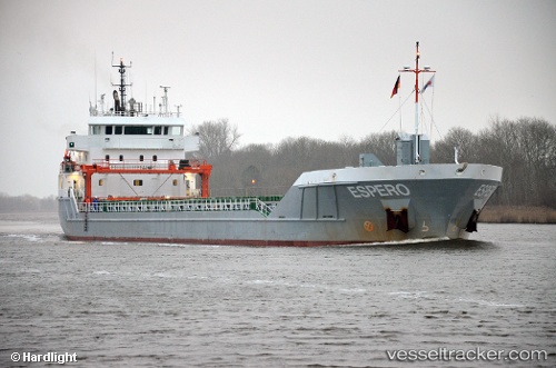
Vessel profile: Longrun is a General Cargo Ship with dimensions 101m x 15m.
This page combines live AIS, route history, probable destination signals, nearby traffic, and port activity for practical vessel monitoring.
The current position of vessel Longrun is 27.75333 lat / -75.67833 lng. Updated: 2026-04-10 07:18:48 UTCNearest reference points:
- 113 nm NE of Green Turtle Cay
- 75 nm N of Green Turtle Cay
- Near Green Turtle Cay
Currently sailing under the flag of Netherlands ![]()
Longrun built in 2013 year
Deadweight:
5500 tDetails:
Live Vessel Longrun Analytics (details, animations, etc.)
Recent AIS points (UTC):
2026-04-10 02:06:47 UTC · 27.21666, -75.13333 · SOG 8 kn · COG -1°2026-04-10 04:15:46 UTC · 27.44333, -75.36167 · SOG 8 kn · COG -1°
2026-04-10 06:06:45 UTC · 27.63500, -75.55833 · SOG 8 kn · COG -1°
2026-04-10 07:18:48 UTC · 27.75333, -75.67833 · SOG 8 kn · COG -1°