 vesseltracker.com
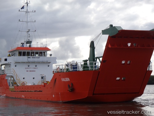
 Karribi
Current Status
Where is the vessel?
Karribi is currently in 22 nm SW of Yampi Sound, based on AIS data received less than 1h ago.
Latest AIS update:
Current position: 16.46822° S, 123.47681° E (22 nm SW of Yampi Sound)
Average speed (last 7 days): Loading…
Average speed (last 30 days): Loading…
Vessel profile: Karribi is a Landing Craft with dimensions 46m x 11m.
This page combines live AIS, route history, probable destination signals, nearby traffic, and port activity for practical vessel monitoring.
The current position of vessel Karribi is -16.46822 lat / 123.47681 lng. Updated: 2026-04-08 13:22:45 UTCNearest reference points:
- 23 nm E of Yampi Sound
Currently sailing under the flag of Australia ![]()
Karribi built in 2009 year
Deadweight:
461 tDetails:
Live Vessel Karribi Analytics (details, animations, etc.)
Recent AIS points (UTC):
2026-04-08 07:21:55 UTC · -16.49392, 123.53121 · SOG 0 kn · COG 288°2026-04-08 09:33:51 UTC · -16.49391, 123.53127 · SOG 0 kn · COG 269°
2026-04-08 12:11:14 UTC · -16.49354, 123.53123 · SOG 0 kn · COG 209°
2026-04-08 13:22:45 UTC · -16.46822, 123.47681 · SOG 8.6 kn · COG 298°