 vesseltracker.com
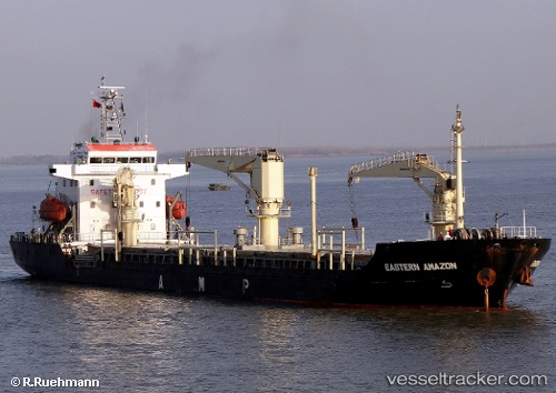
 CEMAL REIS
Current Status
Where is the vessel?
CEMAL REIS is currently in Near Skanör, based on AIS data received about 1h ago.
Latest AIS update:
Current position: 55.37357° N, 12.64625° E (Near Skanör)
Average speed (last 7 days): Loading…
Average speed (last 30 days): Loading…
Vessel profile: CEMAL REIS is a Not available with dimensions m x m.
This page combines live AIS, route history, probable destination signals, nearby traffic, and port activity for practical vessel monitoring.
The current position of vessel CEMAL REIS is 55.37357 lat / 12.64625 lng. Updated: 2026-04-05 19:39:44 UTCNearest reference points:
- Near Skanör
- Near Rødvig Havn
- Near Brondby Strand
Currently sailing under the flag of Barbados ![]()
Details:
Live Vessel CEMAL REIS Analytics (details, animations, etc.)
Recent AIS points (UTC):
2026-04-05 14:25:02 UTC · 56.16712, 12.39822 · SOG 10.1 kn · COG 119°2026-04-05 16:10:12 UTC · 55.94377, 12.62270 · SOG 9.1 kn · COG 178°
2026-04-05 17:39:43 UTC · 55.70940, 12.68506 · SOG 10.3 kn · COG 182°
2026-04-05 19:39:44 UTC · 55.37357, 12.64625 · SOG 9.7 kn · COG 190°