 vesseltracker.com
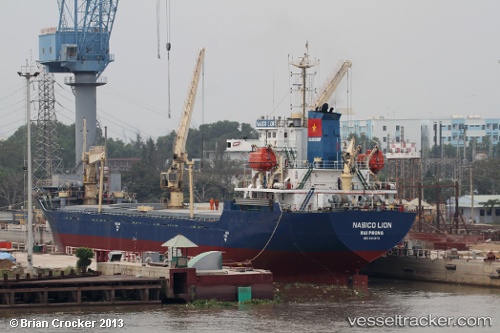
Minh Huy 19
Current StatusWhere is the vessel?
Minh Huy 19 is currently in 100 nm N of Colomadu, based on AIS data received about 2h ago.
Latest AIS update:
Current position: 9.20074° N, 110.66298° E (100 nm N of Colomadu)
Average speed (last 7 days): Loading…
Average speed (last 30 days): Loading…
Vessel profile: Minh Huy 19 is a Bulk Carrier with dimensions 18m x 101m.
This page combines live AIS, route history, probable destination signals, nearby traffic, and port activity for practical vessel monitoring.
The current position of vessel Minh Huy 19 is 9.20074 lat / 110.66298 lng. Updated: 2026-03-28 03:55:57 UTCNearest reference points:
- 156 nm SE of Phan Rang-Tháp Chàm
- 163 nm E of Vinh Cam Ranh
- 142 nm N of Pulau Lang Lang
Details:
Live Vessel Minh Huy 19 Analytics (details, animations, etc.)
Recent AIS points (UTC):
2026-03-27 21:37:13 UTC · 9.22911, 109.88277 · SOG 7.6 kn · COG 96°2026-03-27 21:54:13 UTC · 9.22692, 109.91913 · SOG 7.6 kn · COG 95°
2026-03-28 01:02:07 UTC · 9.21289, 110.30413 · SOG 7.1 kn · COG -1°
2026-03-28 03:55:57 UTC · 9.20074, 110.66298 · SOG 7.4 kn · COG -1°