 vesseltracker.com
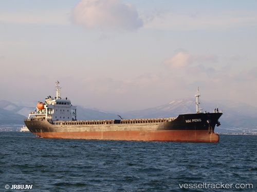
 HAI PENG
Current Status
Where is the vessel?
HAI PENG is currently in 28 nm S of Taniyama, based on AIS data received about 2h ago.
Latest AIS update:
Current position: 30.82167° N, 130.21333° E (28 nm S of Taniyama)
Average speed (last 7 days): Loading…
Average speed (last 30 days): Loading…
Vessel profile: HAI PENG is a General Cargo with dimensions m x m.
This page combines live AIS, route history, probable destination signals, nearby traffic, and port activity for practical vessel monitoring.
The current position of vessel HAI PENG is 30.82167 lat / 130.21333 lng. Updated: 2026-04-12 23:40:03 UTCNearest reference points:
- Near YAMAGAWA
- Near Kiire
- Near Kagoshima
Currently sailing under the flag of Sao Tome and Principe ![]()
Details:
Live Vessel HAI PENG Analytics (details, animations, etc.)
Recent AIS points (UTC):
2026-04-12 17:40:03 UTC · 30.62333, 129.27499 · SOG 8 kn · COG -1°2026-04-12 19:10:03 UTC · 30.67833, 129.51167 · SOG 8 kn · COG -1°
2026-04-12 21:49:56 UTC · 30.75145, 129.91800 · SOG 8.5 kn · COG -1°
2026-04-12 23:40:03 UTC · 30.82167, 130.21333 · SOG 8 kn · COG -1°