 vesseltracker.com
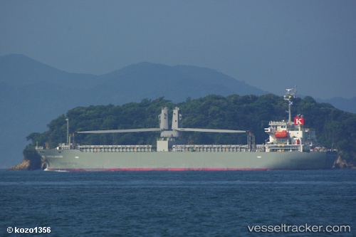
Tropical Bintang
Current StatusWhere is the vessel?
Tropical Bintang is currently in 32 nm S of Gageohyangri, based on AIS data received less than 1h ago.
Latest AIS update:
Current position: 33.55212° N, 125.21139° E (32 nm S of Gageohyangri)
Average speed (last 7 days): Loading…
Average speed (last 30 days): Loading…
Vessel profile: Tropical Bintang is a General Cargo Ship with dimensions 21m x 120m.
This page combines live AIS, route history, probable destination signals, nearby traffic, and port activity for practical vessel monitoring.
The current position of vessel Tropical Bintang is 33.55212 lat / 125.21139 lng. Updated: 2026-04-05 23:42:47 UTCNearest reference points:
- 47 nm W of Hallim
- 61 nm S of Gageohyangri
- 17 nm W of Chuja
Details:
Live Vessel Tropical Bintang Analytics (details, animations, etc.)
Recent AIS points (UTC):
2026-04-05 08:36:58 UTC · 33.59136, 125.09949 · SOG 1.5 kn · COG 254°2026-04-05 08:36:58 UTC · 33.59136, 125.09949 · SOG 1.5 kn · COG 254°
2026-04-05 22:14:48 UTC · 33.53466, 125.16242 · SOG 2 kn · COG 95°
2026-04-05 23:42:47 UTC · 33.55212, 125.21139 · SOG 1.4 kn · COG 100°