 vesseltracker.com
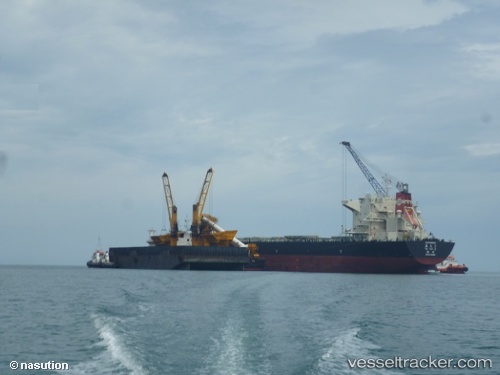
 Ya Tai 2
Current Status
Where is the vessel?
Ya Tai 2 is currently in 32 nm NW of Iba, based on AIS data received less than 1h ago.
Latest AIS update:
Current position: 15.52780° N, 119.46157° E (32 nm NW of Iba)
Average speed (last 7 days): Loading…
Average speed (last 30 days): Loading…
Vessel profile: Ya Tai 2 is a Bulk Carrier with dimensions 225m x 225m.
This page combines live AIS, route history, probable destination signals, nearby traffic, and port activity for practical vessel monitoring.
The current position of vessel Ya Tai 2 is 15.52780 lat / 119.46157 lng. Updated: 2026-04-20 10:26:58 UTCNearest reference points:
- 34 nm W of Iba
- 19 nm SW of MARIVELES
- Near Malabon
Currently sailing under the flag of China ![]()
Ya Tai 2 built in 2012 year
Deadweight:
76022 tDetails:
Live Vessel Ya Tai 2 Analytics (details, animations, etc.)
Recent AIS points (UTC):
2026-04-20 06:14:17 UTC · 15.52861, 119.57764 · SOG 10.8 kn · COG 270°2026-04-20 07:39:38 UTC · 15.52306, 119.44917 · SOG 0.8 kn · COG 29°
2026-04-20 08:02:38 UTC · 15.52695, 119.45155 · SOG 0.5 kn · COG 4°
2026-04-20 10:26:58 UTC · 15.52780, 119.46157 · SOG 0.4 kn · COG 263°