 vesseltracker.com
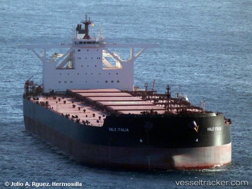
Ore Italia
Current StatusWhere is the vessel?
Ore Italia is currently in 40 nm SE of Langsa Venture FPSO, based on AIS data received about 2h ago.
Latest AIS update:
Current position: 4.99420° N, 98.64152° E (40 nm SE of Langsa Venture FPSO)
Average speed (last 7 days): Loading…
Average speed (last 30 days): Loading…
Vessel profile: Ore Italia is a Ore Carrier with dimensions 65m x 362m.
This page combines live AIS, route history, probable destination signals, nearby traffic, and port activity for practical vessel monitoring.
The current position of vessel Ore Italia is 4.99420 lat / 98.64152 lng. Updated: 2026-04-18 21:29:24 UTCNearest reference points:
- 43 nm NE of PANGKALAN SUSU
- 18 nm E of Langsa Venture FPSO
- Near Belawan
Details:
Live Vessel Ore Italia Analytics (details, animations, etc.)
Recent AIS points (UTC):
2026-04-18 16:02:35 UTC · 4.38202, 99.34078 · SOG 10.6 kn · COG 308°2026-04-18 18:10:14 UTC · 4.61055, 99.05960 · SOG 9.8 kn · COG 309°
2026-04-18 19:40:44 UTC · 4.78900, 98.88208 · SOG 10 kn · COG 314°
2026-04-18 21:29:24 UTC · 4.99420, 98.64152 · SOG 10.7 kn · COG 323°