 vesseltracker.com
 MP MR TANKER 3
Current Status
Where is the vessel?
MP MR TANKER 3 is currently in 47 nm E of Laughlan Atoll, based on AIS data received less than 1h ago.
Latest AIS update:
Current position: 9.25269° S, 154.45509° E (47 nm E of Laughlan Atoll)
Average speed (last 7 days): Loading…
Average speed (last 30 days): Loading…
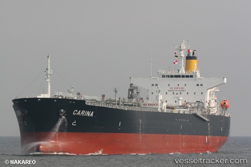
Vessel profile: MP MR TANKER 3 is a Oil Products Tanker with dimensions 32m x 177m.
This page combines live AIS, route history, probable destination signals, nearby traffic, and port activity for practical vessel monitoring.
The current position of vessel MP MR TANKER 3 is -9.25269 lat / 154.45509 lng. Updated: 2026-04-17 11:39:11 UTCCurrently sailing under the flag of India ![]()
MP MR TANKER 3 built in 2010 year
Deadweight:
47962 tDetails:
Live Vessel MP MR TANKER 3 Analytics (details, animations, etc.)
Recent AIS points (UTC):
2026-04-17 05:20:28 UTC · -8.08224, 154.03221 · SOG 12.2 kn · COG 161°2026-04-17 07:42:39 UTC · -8.53219, 154.19592 · SOG 12.3 kn · COG 165°
2026-04-17 10:06:22 UTC · -8.96837, 154.37009 · SOG 11.7 kn · COG 168°
2026-04-17 11:39:11 UTC · -9.25269, 154.45509 · SOG 11 kn · COG 161°