 vesseltracker.com
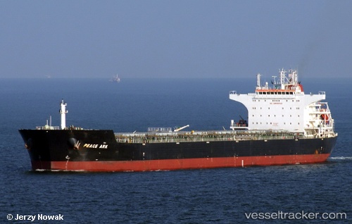
 Peace Ark
Current Status
Where is the vessel?
Peace Ark is currently in 96 nm NE of Lusi, based on AIS data received about 7h ago.
Latest AIS update:
Current position: 32.76221° N, 123.31982° E (96 nm NE of Lusi)
Average speed (last 7 days): Loading…
Average speed (last 30 days): Loading…
Vessel profile: Peace Ark is a Bulk Carrier with dimensions 229m x 38m.
This page combines live AIS, route history, probable destination signals, nearby traffic, and port activity for practical vessel monitoring.
The current position of vessel Peace Ark is 32.76221 lat / 123.31982 lng. Updated: 2026-03-30 00:41:33 UTCNearest reference points:
- 77 nm NE of Jingjiang
- 99 nm NE of Yangkou Pt
- 52 nm E of Lusi
Currently sailing under the flag of Liberia ![]()
Peace Ark built in 2010 year
Deadweight:
93249 tDetails:
Live Vessel Peace Ark Analytics (details, animations, etc.)
Recent AIS points (UTC):
2026-03-29 23:26:07 UTC · 33.00874, 123.34677 · SOG 12.3 kn · COG -1°2026-03-30 00:41:33 UTC · 32.76221, 123.31982 · SOG 11.3 kn · COG -1°
2026-03-30 00:41:33 UTC · 32.76221, 123.31982 · SOG 11.3 kn · COG -1°
2026-03-30 00:41:33 UTC · 32.76221, 123.31982 · SOG 11.3 kn · COG -1°