 vesseltracker.com
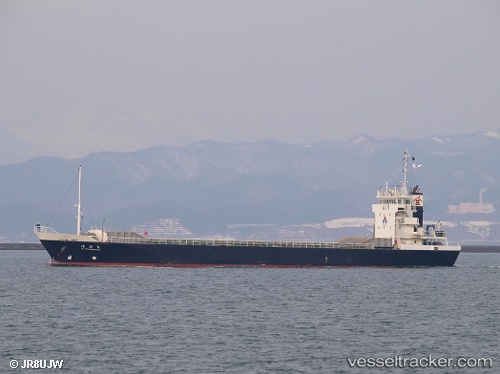
Kiyohamamaru
Current StatusWhere is the vessel?
Kiyohamamaru is currently in Near Shimizu, based on AIS data received less than 1h ago.
Latest AIS update:
Current position: 35.01605° N, 138.49586° E (Near Shimizu)
Average speed (last 7 days): Loading…
Average speed (last 30 days): Loading…
Vessel profile: Kiyohamamaru is a General Cargo Ship with dimensions 12m x 70m.
This page combines live AIS, route history, probable destination signals, nearby traffic, and port activity for practical vessel monitoring.
The current position of vessel Kiyohamamaru is 35.01605 lat / 138.49586 lng. Updated: 2026-04-18 07:52:43 UTCNearest reference points:
- Near Shimizu
- Near OMAEZAKI
- Near Iruma
Details:
Live Vessel Kiyohamamaru Analytics (details, animations, etc.)
Recent AIS points (UTC):
2026-04-18 01:36:44 UTC · 35.01598, 138.49580 · SOG 0.1 kn · COG 359°2026-04-18 03:52:23 UTC · 35.01602, 138.49580 · SOG 0.1 kn · COG 358°
2026-04-18 05:34:34 UTC · 35.01603, 138.49585 · SOG 0 kn · COG 358°
2026-04-18 07:52:43 UTC · 35.01605, 138.49586 · SOG 0.1 kn · COG 359°