 vesseltracker.com
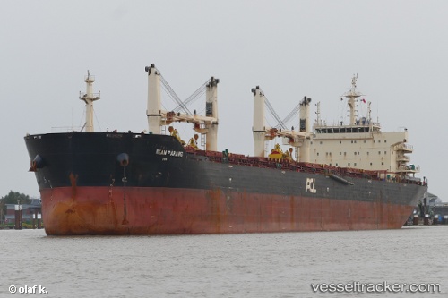
 XIN HAI TONG 39
Current Status
Where is the vessel?
XIN HAI TONG 39 is currently in Near ALGER, based on AIS data received about 2h ago.
Latest AIS update:
Current position: 36.76440° N, 3.06417° E (Near ALGER)
Average speed (last 7 days): Loading…
Average speed (last 30 days): Loading…
Vessel profile: XIN HAI TONG 39 is a Bulk Carrier with dimensions m x m.
This page combines live AIS, route history, probable destination signals, nearby traffic, and port activity for practical vessel monitoring.
The current position of vessel XIN HAI TONG 39 is 36.76440 lat / 3.06417 lng. Updated: 2026-03-28 19:33:10 UTCNearest reference points:
- Near Algiers
- 16 nm NE of Berja
- 17 nm S of Albanchez
Currently sailing under the flag of Marshall Islands ![]()
Details:
Live Vessel XIN HAI TONG 39 Analytics (details, animations, etc.)
Recent AIS points (UTC):
2026-03-28 14:00:03 UTC · 36.76443, 3.06422 · SOG 0 kn · COG 106°2026-03-28 15:45:07 UTC · 36.76441, 3.06419 · SOG 0 kn · COG 106°
2026-03-28 17:45:07 UTC · 36.76439, 3.06420 · SOG 0 kn · COG 106°
2026-03-28 19:33:10 UTC · 36.76440, 3.06417 · SOG 0 kn · COG 106°