 vesseltracker.com
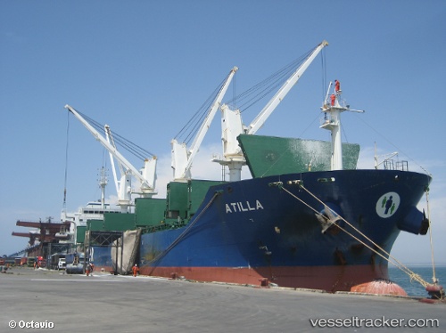
 MARIA ATH
Current Status
Where is the vessel?
MARIA ATH is currently in 177 nm NE of Koungou, based on AIS data received less than 1h ago.
Latest AIS update:
Current position: 10.15552° S, 46.64244° E (177 nm NE of Koungou)
Average speed (last 7 days): Loading…
Average speed (last 30 days): Loading…
Vessel profile: MARIA ATH is a Bulk Carrier with dimensions m x m.
This page combines live AIS, route history, probable destination signals, nearby traffic, and port activity for practical vessel monitoring.
The current position of vessel MARIA ATH is -10.15552 lat / 46.64244 lng. Updated: 2026-04-06 03:25:46 UTCNearest reference points:
- 184 nm N of Mutsamudu, Anjouan
Currently sailing under the flag of Marshall Islands ![]()
Details:
Live Vessel MARIA ATH Analytics (details, animations, etc.)
Recent AIS points (UTC):
2026-04-05 21:07:17 UTC · -10.92225, 46.01843 · SOG 8.8 kn · COG 43°2026-04-05 23:32:40 UTC · -10.63667, 46.24667 · SOG 9 kn · COG -1°
2026-04-06 01:44:39 UTC · -10.36167, 46.46833 · SOG 9 kn · COG -1°
2026-04-06 03:25:46 UTC · -10.15552, 46.64244 · SOG 9 kn · COG 41°