 vesseltracker.com
 RT LEO
Current Status
Where is the vessel?
RT LEO is currently in 13 nm N of Rozi, based on AIS data received about 1h ago.
Latest AIS update:
Current position: 22.78199° N, 69.97722° E (13 nm N of Rozi)
Average speed (last 7 days): Loading…
Average speed (last 30 days): Loading…
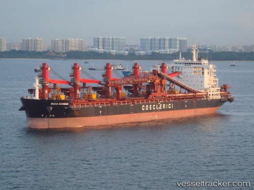
Vessel profile: RT LEO is a Self-Discharging Bulk Carrier with dimensions 194m x 32m.
This page combines live AIS, route history, probable destination signals, nearby traffic, and port activity for practical vessel monitoring.
The current position of vessel RT LEO is 22.78199 lat / 69.97722 lng. Updated: 2026-04-20 19:50:26 UTCNearest reference points:
- 12 nm N of Rozi
- 15 nm N of Rozi
- Near Rozi
Currently sailing under the flag of Liberia ![]()
RT LEO built in 2011 year
Deadweight:
53776 tDetails:
Live Vessel RT LEO Analytics (details, animations, etc.)
Recent AIS points (UTC):
2026-04-20 16:59:37 UTC · 22.78178, 69.97730 · SOG 0.1 kn · COG 252°2026-04-20 18:17:14 UTC · 22.78167, 69.97667 · SOG 0 kn · COG -1°
2026-04-20 19:44:25 UTC · 22.78183, 69.97727 · SOG 0 kn · COG 251°
2026-04-20 19:50:26 UTC · 22.78199, 69.97722 · SOG 0 kn · COG 241°