 vesseltracker.com
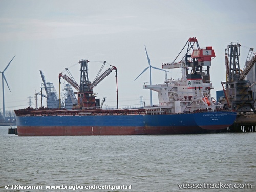
 MARINE BRIGHT
Current Status
Where is the vessel?
MARINE BRIGHT is currently in 101 nm N of Melonguanne, based on AIS data received about 2h ago.
Latest AIS update:
Current position: 5.67344° N, 126.81072° E (101 nm N of Melonguanne)
Average speed (last 7 days): Loading…
Average speed (last 30 days): Loading…
Vessel profile: MARINE BRIGHT is a Bulk Carrier with dimensions 250m x 43m.
This page combines live AIS, route history, probable destination signals, nearby traffic, and port activity for practical vessel monitoring.
The current position of vessel MARINE BRIGHT is 5.67344 lat / 126.81072 lng. Updated: 2026-04-05 20:39:40 UTCNearest reference points:
- 48 nm N of Melonguanne
- Near DICT / SVT
Currently sailing under the flag of Liberia ![]()
MARINE BRIGHT built in 2012 year
Deadweight:
114013 tDetails:
Live Vessel MARINE BRIGHT Analytics (details, animations, etc.)
Recent AIS points (UTC):
2026-04-05 10:14:07 UTC · 7.93840, 127.04348 · SOG 12.1 kn · COG 174°2026-04-05 13:04:27 UTC · 7.34549, 127.04755 · SOG 13 kn · COG 182°
2026-04-05 14:32:22 UTC · 7.02573, 127.00640 · SOG 13.3 kn · COG 184°
2026-04-05 20:39:40 UTC · 5.67344, 126.81072 · SOG 12.2 kn · COG 184°