 vesseltracker.com
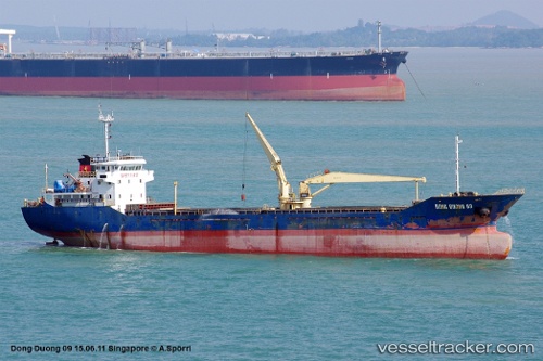
M.v Dong Duong 09
Current StatusWhere is the vessel?
M.v Dong Duong 09 is currently in Near Son Duong Port, based on AIS data received less than 1h ago.
Latest AIS update:
Current position: 18.13884° N, 106.47597° E (Near Son Duong Port)
Average speed (last 7 days): Loading…
Average speed (last 30 days): Loading…
Vessel profile: M.v Dong Duong 09 is a General Cargo Ship with dimensions 15m x 92m.
This page combines live AIS, route history, probable destination signals, nearby traffic, and port activity for practical vessel monitoring.
The current position of vessel M.v Dong Duong 09 is 18.13884 lat / 106.47597 lng. Updated: 2026-04-02 02:26:52 UTCNearest reference points:
- 60 nm NE of Son Duong Port
- 61 nm E of Hon La Port
- 65 nm W of Basuo Pt
Details:
Live Vessel M.v Dong Duong 09 Analytics (details, animations, etc.)
Recent AIS points (UTC):
2026-04-01 19:22:23 UTC · 18.31740, 106.37808 · SOG 6.9 kn · COG 151°2026-04-01 22:09:01 UTC · 18.13874, 106.47566 · SOG 0.3 kn · COG 349°
2026-04-01 23:53:50 UTC · 18.13885, 106.47589 · SOG 0.5 kn · COG 350°
2026-04-02 02:26:52 UTC · 18.13884, 106.47597 · SOG 0.3 kn · COG 330°