 vesseltracker.com
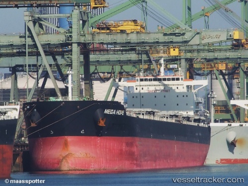
Sea Hope
Current StatusWhere is the vessel?
Sea Hope is currently in 19 nm W of Salomague, based on AIS data received about 1h ago.
Latest AIS update:
Current position: 17.76471° N, 120.07774° E (19 nm W of Salomague)
Average speed (last 7 days): Loading…
Average speed (last 30 days): Loading…
Vessel profile: Sea Hope is a Bulk Carrier with dimensions 32m x 229m.
This page combines live AIS, route history, probable destination signals, nearby traffic, and port activity for practical vessel monitoring.
The current position of vessel Sea Hope is 17.76471 lat / 120.07774 lng. Updated: 2026-04-17 21:43:53 UTCNearest reference points:
- 22 nm W of Salomague
- 138 nm NW of Bolinao
- 66 nm W of Basco
Details:
Live Vessel Sea Hope Analytics (details, animations, etc.)
Recent AIS points (UTC):
2026-04-17 15:44:52 UTC · 16.68333, 119.70667 · SOG 11 kn · COG -1°2026-04-17 17:50:52 UTC · 17.05500, 119.83500 · SOG 11 kn · COG -1°
2026-04-17 19:59:43 UTC · 17.44940, 119.96427 · SOG 11.4 kn · COG 20°
2026-04-17 21:43:53 UTC · 17.76471, 120.07774 · SOG 11.4 kn · COG 19°