 vesseltracker.com
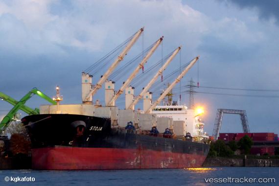
Stoja
Current StatusWhere is the vessel?
Stoja is currently in 61 nm SE of Ryuo, based on AIS data received about 1h ago.
Latest AIS update:
Current position: 35.05987° N, 17.61476° E (61 nm SE of Ryuo)
Average speed (last 7 days): Loading…
Average speed (last 30 days): Loading…
Vessel profile: Stoja is a Bulk Carrier with dimensions 32m x 189m.
This page combines live AIS, route history, probable destination signals, nearby traffic, and port activity for practical vessel monitoring.
The current position of vessel Stoja is 35.05987 lat / 17.61476 lng. Updated: 2026-04-19 22:21:44 UTCNearest reference points:
- 73 nm N of Pinelands
- 71 nm N of Pinelands
- 64 nm NE of Ryuo
Details:
Live Vessel Stoja Analytics (details, animations, etc.)
Recent AIS points (UTC):
2026-04-19 19:01:37 UTC · 34.82833, 18.37333 · SOG 11 kn · COG -1°2026-04-19 19:01:37 UTC · 34.82833, 18.37333 · SOG 11 kn · COG -1°
2026-04-19 20:13:43 UTC · 34.90833, 18.10500 · SOG 12 kn · COG -1°
2026-04-19 22:21:44 UTC · 35.05987, 17.61476 · SOG 12.2 kn · COG 291°