 vesseltracker.com
 IPPOKRATIS
Current Status
Where is the vessel?
IPPOKRATIS is currently in Near Casablanca, based on AIS data received less than 1h ago.
Latest AIS update:
Current position: 33.71384° N, 7.69896° W (Near Casablanca)
Average speed (last 7 days): Loading…
Average speed (last 30 days): Loading…
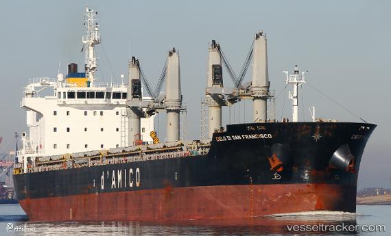
Vessel profile: IPPOKRATIS is a General Cargo Ship with dimensions 27m x 182m.
This page combines live AIS, route history, probable destination signals, nearby traffic, and port activity for practical vessel monitoring.
The current position of vessel IPPOKRATIS is 33.71384 lat / -7.69896 lng. Updated: 2026-04-07 05:29:28 UTCNearest reference points:
- Near Mohammedia
- 54 nm N of El Jadida
- Near Jorf Lasfar
Currently sailing under the flag of Marshall Islands ![]()
IPPOKRATIS built in 2011 year
Deadweight:
37056 tDetails:
Live Vessel IPPOKRATIS Analytics (details, animations, etc.)
Recent AIS points (UTC):
2026-04-07 00:08:27 UTC · 33.71447, -7.69927 · SOG 0.2 kn · COG 241°2026-04-07 01:36:56 UTC · 33.71426, -7.69900 · SOG 0.3 kn · COG -1°
2026-04-07 04:08:28 UTC · 33.71412, -7.69900 · SOG 0.6 kn · COG 253°
2026-04-07 05:29:28 UTC · 33.71384, -7.69896 · SOG 0.8 kn · COG 258°