 vesseltracker.com
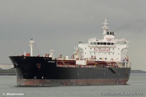
 LIPARI M
Current Status
Where is the vessel?
LIPARI M is currently in 13 nm SE of Serrano, based on AIS data received about 17h ago.
Latest AIS update:
Current position: 40.11151° N, 18.72602° E (13 nm SE of Serrano)
Average speed (last 7 days): Loading…
Average speed (last 30 days): Loading…
Vessel profile: LIPARI M is a Oil/Chemical Tanker with dimensions m x m.
This page combines live AIS, route history, probable destination signals, nearby traffic, and port activity for practical vessel monitoring.
The current position of vessel LIPARI M is 40.11151 lat / 18.72602 lng. Updated: 2026-04-10 07:26:21 UTCNearest reference points:
- 11 nm S of Leuca
- 22 nm W of Fier
- 20 nm S of Leuca
Currently sailing under the flag of Italy ![]()
Details:
Live Vessel LIPARI M Analytics (details, animations, etc.)
Recent AIS points (UTC):
2026-04-10 02:28:01 UTC · 39.27887, 17.89046 · SOG 13.4 kn · COG 42°2026-04-10 03:48:31 UTC · 39.48109, 18.17500 · SOG 13 kn · COG 50°
2026-04-10 06:01:12 UTC · 39.82117, 18.58815 · SOG 13.1 kn · COG 21°
2026-04-10 07:26:21 UTC · 40.11151, 18.72602 · SOG 13.3 kn · COG 359°