 vesseltracker.com
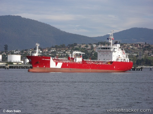
 Iver Blessing
Current Status
Where is the vessel?
Iver Blessing is currently in Near RUMELI FENERI, based on AIS data received less than 1h ago.
Latest AIS update:
Current position: 41.30462° N, 29.20670° E (Near RUMELI FENERI)
Average speed (last 7 days): Loading…
Average speed (last 30 days): Loading…
Vessel profile: Iver Blessing is a Bitumen Tanker with dimensions 110m x 18m.
This page combines live AIS, route history, probable destination signals, nearby traffic, and port activity for practical vessel monitoring.
The current position of vessel Iver Blessing is 41.30462 lat / 29.20670 lng. Updated: 2026-04-22 23:35:31 UTCNearest reference points:
- Near RUMELI FENERI
- 19 nm NE of RUMELI FENERI
- Near Istinye/Istambul
Currently sailing under the flag of Gibraltar ![]()
Iver Blessing built in 2011 year
Deadweight:
6189 tDetails:
Live Vessel Iver Blessing Analytics (details, animations, etc.)
Recent AIS points (UTC):
2026-04-22 19:41:53 UTC · 40.87073, 28.88173 · SOG 8.3 kn · COG 56°2026-04-22 21:51:51 UTC · 41.08125, 29.05850 · SOG 7.9 kn · COG 27°
2026-04-22 22:30:02 UTC · 41.16680, 29.07122 · SOG 8.9 kn · COG 38°
2026-04-22 23:35:31 UTC · 41.30462, 29.20670 · SOG 10.1 kn · COG 26°