 vesseltracker.com
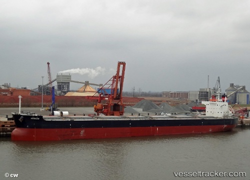
Arouzu
Current StatusWhere is the vessel?
Arouzu is currently in Near North Vancouver, based on AIS data received about 1h ago.
Latest AIS update:
Current position: 49.30264° N, 123.05102° W (Near North Vancouver)
Average speed (last 7 days): Loading…
Average speed (last 30 days): Loading…
Vessel profile: Arouzu is a Bulk Carrier with dimensions 32m x 227m.
This page combines live AIS, route history, probable destination signals, nearby traffic, and port activity for practical vessel monitoring.
The current position of vessel Arouzu is 49.30264 lat / -123.05102 lng. Updated: 2026-04-18 02:00:16 UTCNearest reference points:
- Near North Vancouver
- Near Vancouver
- Near English Bay
Details:
Live Vessel Arouzu Analytics (details, animations, etc.)
Recent AIS points (UTC):
2026-04-17 20:09:12 UTC · 49.30264, -123.05097 · SOG 0 kn · COG 295°2026-04-17 21:33:17 UTC · 49.30264, -123.05109 · SOG 0 kn · COG 295°
2026-04-17 23:45:13 UTC · 49.30265, -123.05098 · SOG 0 kn · COG 295°
2026-04-18 02:00:16 UTC · 49.30264, -123.05102 · SOG 0 kn · COG 295°