 vesseltracker.com
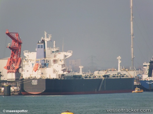
Akaki
Current StatusWhere is the vessel?
Akaki is currently in Open sea (no nearby ports in database), based on AIS data received about 1h ago.
Latest AIS update:
Current position: 36.59143° S, 55.82393° E (Open sea (no nearby ports in database))
Average speed (last 7 days): Loading…
Average speed (last 30 days): Loading…
Vessel profile: Akaki is a Bulk Carrier with dimensions 32m x 235m.
This page combines live AIS, route history, probable destination signals, nearby traffic, and port activity for practical vessel monitoring.
The current position of vessel Akaki is -36.59143 lat / 55.82393 lng. Updated: 2026-03-31 11:43:44 UTCNearest reference points:
- Open sea (no nearby ports in database)
Details:
Live Vessel Akaki Analytics (details, animations, etc.)
Recent AIS points (UTC):
2026-03-31 06:08:23 UTC · -36.83563, 54.78296 · SOG 9.1 kn · COG 74°2026-03-31 07:51:51 UTC · -36.76987, 55.10475 · SOG 9.6 kn · COG 74°
2026-03-31 09:25:50 UTC · -36.69841, 55.39529 · SOG 9.4 kn · COG 71°
2026-03-31 11:43:44 UTC · -36.59143, 55.82393 · SOG 9.6 kn · COG 73°