 vesseltracker.com
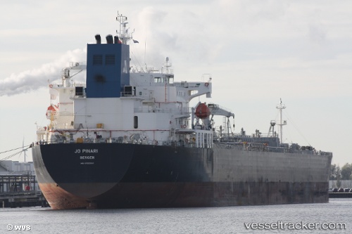
 TORM EMMA
Current Status
Where is the vessel?
TORM EMMA is currently in 94 nm NE of Anse Kerlan, based on AIS data received less than 1h ago.
Latest AIS update:
Current position: 3.14037° S, 56.74692° E (94 nm NE of Anse Kerlan)
Average speed (last 7 days): Loading…
Average speed (last 30 days): Loading…
Vessel profile: TORM EMMA is a Oil Products Tanker with dimensions m x m.
This page combines live AIS, route history, probable destination signals, nearby traffic, and port activity for practical vessel monitoring.
The current position of vessel TORM EMMA is -3.14037 lat / 56.74692 lng. Updated: 2026-04-21 01:17:24 UTCNearest reference points:
- Near Mahé Island Apt
Currently sailing under the flag of Denmark ![]()
Details:
Live Vessel TORM EMMA Analytics (details, animations, etc.)
Recent AIS points (UTC):
2026-04-20 22:14:11 UTC · -3.22500, 56.02833 · SOG 13 kn · COG -1°2026-04-20 22:56:16 UTC · -3.20333, 56.18833 · SOG 13 kn · COG -1°
2026-04-20 23:56:13 UTC · -3.17167, 56.42167 · SOG 14 kn · COG -1°
2026-04-21 01:17:24 UTC · -3.14037, 56.74692 · SOG 14.6 kn · COG 81°