 vesseltracker.com
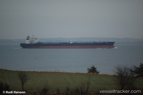
San Saba
Current StatusWhere is the vessel?
San Saba is currently in 178 nm NW of Tarpon Springs, based on AIS data received less than 1h ago.
Latest AIS update:
Current position: 30.68866° N, 31.32755° W (178 nm NW of Tarpon Springs)
Average speed (last 7 days): Loading…
Average speed (last 30 days): Loading…
Vessel profile: San Saba is a Crude Oil Tanker with dimensions 48m x 274m.
This page combines live AIS, route history, probable destination signals, nearby traffic, and port activity for practical vessel monitoring.
The current position of vessel San Saba is 30.68866 lat / -31.32755 lng. Updated: 2026-04-20 03:34:31 UTCDetails:
Live Vessel San Saba Analytics (details, animations, etc.)
Recent AIS points (UTC):
2026-04-20 00:12:56 UTC · 31.23571, -30.64296 · SOG 14.2 kn · COG 229°2026-04-20 01:28:00 UTC · 31.03139, -30.89794 · SOG 14.3 kn · COG 229°
2026-04-20 01:29:05 UTC · 31.02837, -30.90162 · SOG 14.3 kn · COG 229°
2026-04-20 03:34:31 UTC · 30.68866, -31.32755 · SOG 14.2 kn · COG 229°