 vesseltracker.com
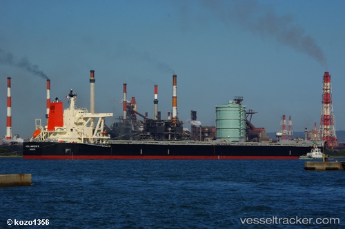
 Azul Horizonte
Current Status
Where is the vessel?
Azul Horizonte is currently in Near Port Walcot, based on AIS data received about 1h ago.
Latest AIS update:
Current position: 20.55850° S, 117.34279° E (Near Port Walcot)
Average speed (last 7 days): Loading…
Average speed (last 30 days): Loading…
Vessel profile: Azul Horizonte is a Bulk Carrier with dimensions 300m x 50m.
This page combines live AIS, route history, probable destination signals, nearby traffic, and port activity for practical vessel monitoring.
The current position of vessel Azul Horizonte is -20.55850 lat / 117.34279 lng. Updated: 2026-04-03 02:10:08 UTCNearest reference points:
- 11 nm E of Port Walcot
- 116 nm NE of Mutineer
Currently sailing under the flag of Liberia ![]()
Details:
Live Vessel Azul Horizonte Analytics (details, animations, etc.)
Recent AIS points (UTC):
2026-04-02 19:40:06 UTC · -20.55410, 117.34079 · SOG 0 kn · COG 189°2026-04-02 21:55:09 UTC · -20.55654, 117.34360 · SOG 0.2 kn · COG 273°
2026-04-03 00:01:06 UTC · -20.55848, 117.34270 · SOG 0 kn · COG 315°
2026-04-03 02:10:08 UTC · -20.55850, 117.34279 · SOG 0 kn · COG 317°